Our beautiful Voeren region is part of the Grenzeloos Bocageland Landscape Park, together with the Walloon Land of Herve and the South Limburg Heuvelland. The landscapes seem to be related: rolling meadows bordered by hedges, standard orchards, sunken roads, and ancient forests alternate. Add to that historic churches, castles, and chapels, and you understand why the Voeren region is a paradise for hikers, those seeking peace and quiet, and bon vivants from all corners of the world.
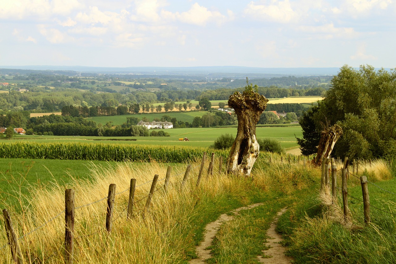
Did you know: The name of the park refers to bocage; A type of landscape consisting of small irregular plots separated by hedges, wooded banks, or walls. Spectacular panoramic views guaranteed from the top of every hill!
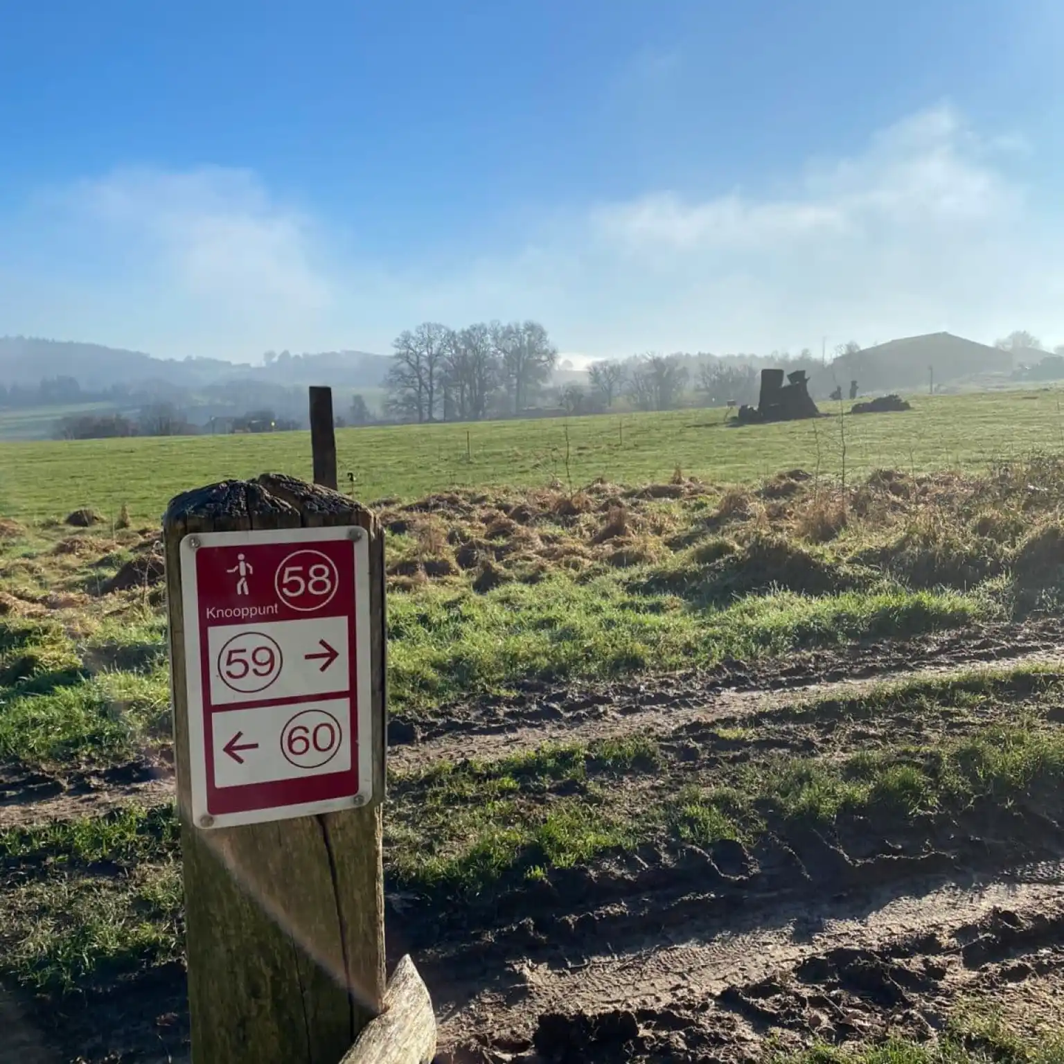
The walking network in the Voerstreek region comprises around 125 kilometers of signposted trails, with more than 90 junctions. So you can decide for yourself how short or long your trip will be. And good news: most of the trails are traffic-free or unpaved, ideal for really immersing yourself in nature. Just remember to wear sturdy walking shoes or boots—in wet weather, the trail can get muddy.
One of the few recognized quiet areas in Flanders is located in the Voerstreek region, more specifically in the Altenbroek domain, where Molenhoeve is located. Here you will find ponds, forests, meadows, and breathtaking views, far away from traffic noise and city bustle. The border with the Netherlands is just a stone’s throw away, and with a little planning, you can cross three countries in one day: Belgium, the Netherlands, and Germany.
Did you know?: The highest point in Flanders is located near Remersdaal in the Voerstreek region. At around 287.5 meters above sea level, you are standing on the roof of Flanders. However, you don’t need a rope or climbing shoes!
Whether you are a seasoned hiker or more of a recreational walker, there is a suitable route for every type of hiker in the Voerstreek. Below you will find three of the most beautiful walks:
Starting point: ‘s-Gravenvoeren
Type: Hilly, cross-border nature reserve
This walk starts at our estate and takes you through the Altenbroek nature reserve. Along the way, you will pass forests, meadows, and, of course, the charming Altembrouck Castle. Once a feudal estate in the 14th century, today it is a white gem. The slopes in this part of the Voer region are gentle, ideal for those who like to climb without getting out of breath.
Starting point: Sint-Martens-Voeren
Type: Lots of water, variety, and photogenic spots
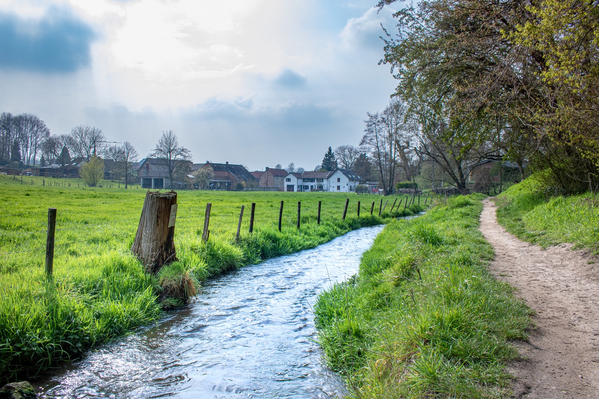
The Bronnenwandeling combines everything that makes the Voer region so unique: sunken roads, orchards, chapels, picturesque villages such as Veurs, and even a vineyard. Highlights include the source of the Veurs, the Sint-Martens-Voeren viaduct, and Belgium’s longest railway tunnel. Please note that the trail is often wet, so waterproof shoes are a must.
Starting point: Church of Teuven
Type: Peaceful route past castles and panoramic views
This walk starts in charming Teuven and takes you past Hof de Draeck and Sinnich castles. Unfortunately, it is not possible to visit them, but they are certainly worth admiring from a distance. Along the way, you will pass through forests, meadows, the hamlet of Nurop, and even a monument commemorating the victims of the infamous ‘electric wire’—the border barrier from World War I. A mix of nature and history, with a well-deserved terrace at the end, as the icing on the cake.
Walking in the Voerstreek region is more than just covering kilometers. It is clearing your mind while your eyes fill with greenery, your lungs with fresh air, and your heart with wonder. Escape the pressure to perform in everyday life and step into another world—one where silence still truly resonates and beauty awaits at the top of every hill.